
|
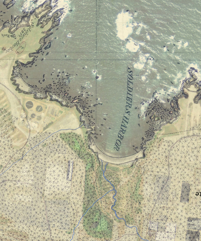
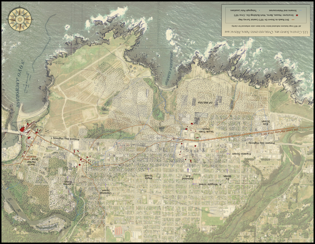
Both of these year-round creeks historically flowed from the northeast and southeast toward what is now the center of Ft. Bragg and the center of the mill site, Fort Bragg Landing. Today Alder and Maple Creeks flow under our streets and lots. They continue under Highway 1, toward the lowland/mill pond area of the mill site due west from Oak St. These natural watercourses are buried and probably flow through aging culverts to the lowland area where our new North and South Coastal Trails will eventually be connected.
|
